Homepage of Stefan Kühn
Home / Hobbies / Wikipedia / Geocoordinates
In the free Software Google Earth is it possible to use own data and to connect this with a website. In the free encyclopedia Wikipedia some Wikipedian support the WikiProject Geographical coordinates, where they include coordinates in the articles. I use this coordinates to create a dataset for Google Earth.
Download:
| Language | Date | Google Earth |
|---|---|---|
| ca | 2008-03-09 | KMZ (0,2 MB) |
| cs | 2008-03-20 | KMZ (0,3 MB) |
| de | 2008-03-20 | KMZ (3,0 MB) |
| en | 2008-03-12 | KMZ (6,3 MB) |
| eo | 2008-03-19 | KMZ (0,1 MB) |
| es | 2008-03-17 | KMZ (0,5 MB) |
| fi | 2008-03-11 | KMZ (0,1 MB) |
| fr | 2008-03-23 | KMZ (1,2 MB) |
| nds | 2008-03-19 | KMZ (0,1 MB) |
| nl | 2008-03-10 | KMZ (2,5 MB) |
| pt | 2008-03-13 | KMZ (1,6 MB) |
| ru | 2008-03-07 | KMZ (0,6 MB) |
Installation:
First extract the Zip-File. The dataset has the KMZ-Format and must be open in Google Earth (Menu File/Open).
Attention:
The big number of coordinates can be a problem for slow computers, e.g. when indicating the many localities in Central Europe or North America.
The dynamic KML-File of Tim Alder use only the important points of a view.
Test it and have fun! Stefan Kühn
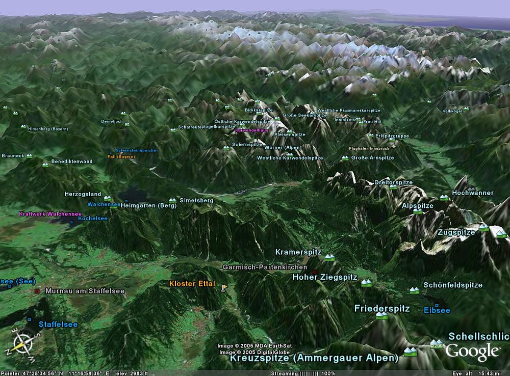
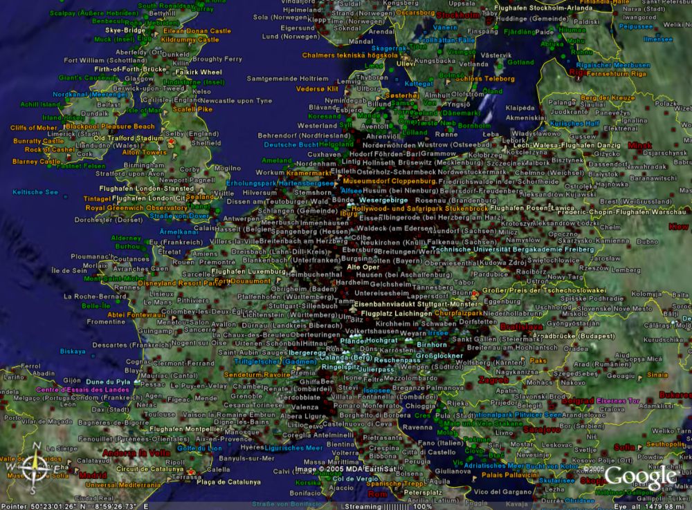
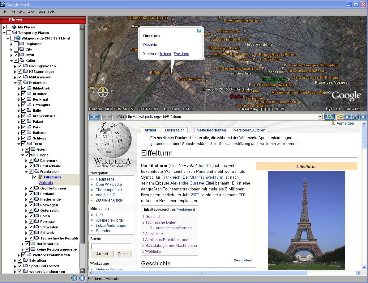
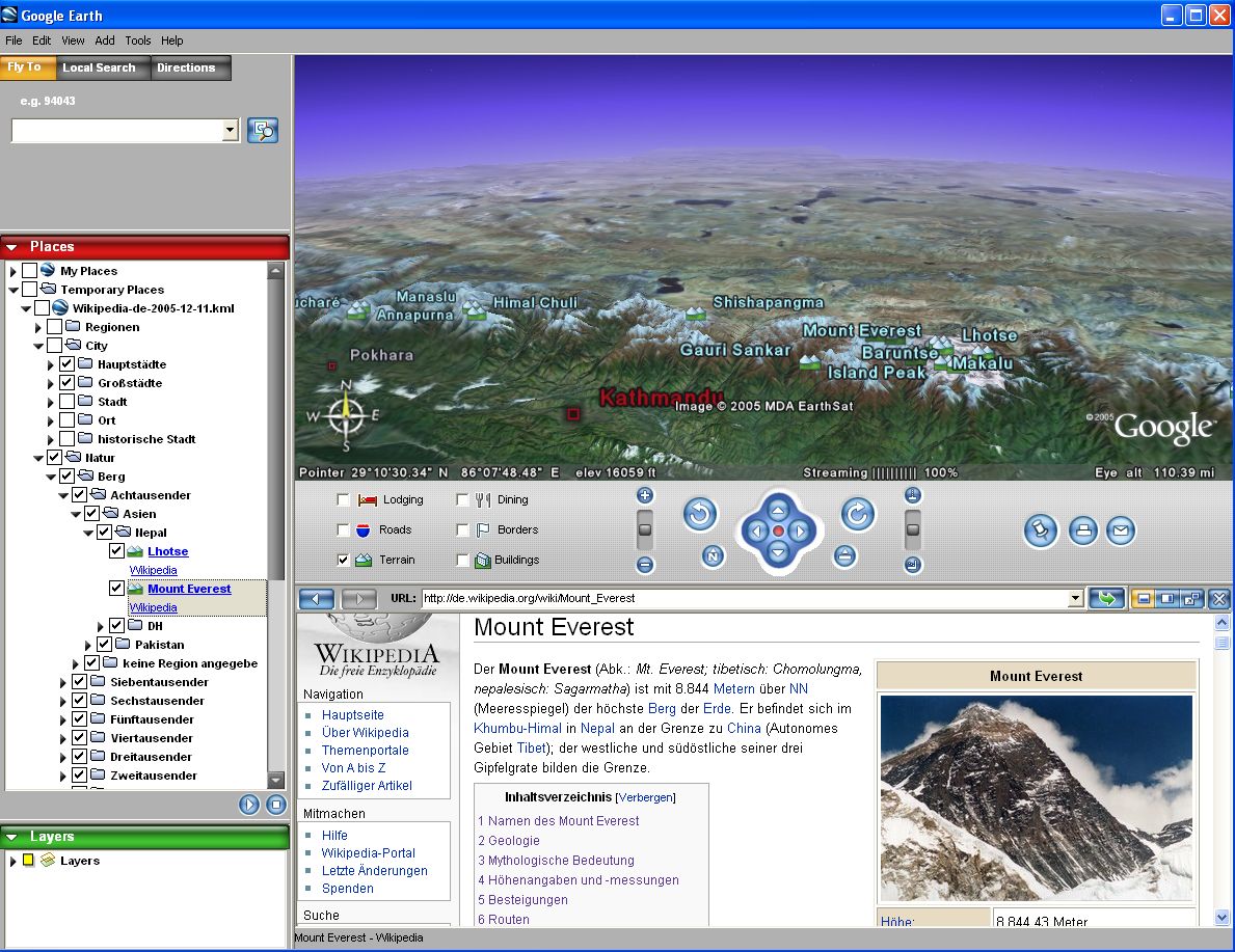
Screenshots (german version):